New planning tool tests how zoning changes can reduce future flood risk
A new land-use model, funded by the Natural Hazards Commission Toka Tū Ake, gives planners a powerful new way to explore and test how different policy and investment decisions could reduce flood risk—before putting them into practice.
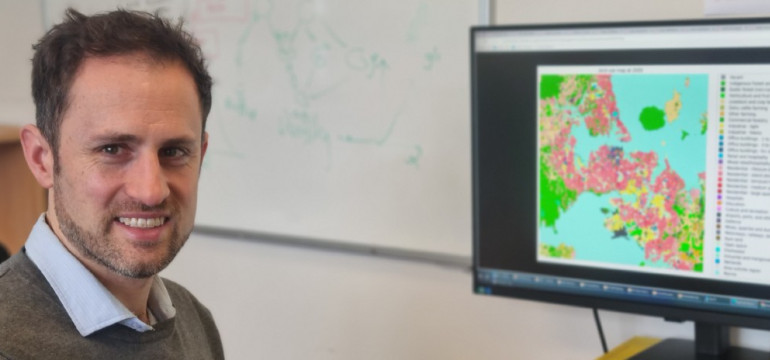
Developed by Dr Robert Cardwell of Market Economics, the model allows users to test the knock-on effects of different flood policy settings in a virtual environment.
“Urban planning decisions are hard to reverse,” says Dr Cardwell. “Once zoning rules are applied and infrastructure is built, the consequences last for decades. Our model helps avoid a situation where, 10 years after a development is approved, a major flood hits and people ask, ‘Why was this allowed in a floodplain?’”
While the model doesn’t forecast exactly how many homes will be built in specific places, it helps planners and decision-makers understand the drivers behind urban development, anticipate where future risks may emerge, and test options for reducing those risks.
With 12% of New Zealand’s housing stock located in flood hazard areas—mostly in urban centres, and particularly in Auckland and Canterbury—this work comes at a critical time. Housing continues to be built on flood-prone land, often without enough risk mitigation.
To test the model, Cardwell used Auckland as a case study. He applied floodplain data to simulate a future where urban land in flood-prone areas was rezoned as Discretionary—the second most restrictive category.
Over a 50-year period, this policy setting led to significantly less development in high-risk areas, including:
- 1,200 hectares (19%) less of lifestyle block development
- 300 hectares (11%) less standalone housing
- 86 fewer (23%) terraced housing developments.
“These changes reflect a wide range of factors,” explains Dr Cardwell. “Things like neighbouring land use, terrain, accessibility, zoning, population growth, and time since last land use change all influence where development goes.”
The model also suggests that restricting development in risky areas doesn’t mean development stops altogether.
“In the Auckland scenario, nearly 75% of the development that couldn’t happen in flood-prone zones shifted to nearby areas with lower flood risk,” says Cardwell.
Dr Wendy Saunders, NHC’s Smarter Land Use Planning Champion, says the tool is a valuable step toward balancing risk-based decisions with the ongoing demand for housing.
“Smarter land-use decisions can help us avoid disasters that are often entirely predictable,” she says.
“No model can perfectly predict future technologies, policies or immigration patterns, but tools like this can help councils and decision-makers determine the most suitable policies for their communities.”
Next, Cardwell hopes to integrate economic and transport models alongside the land-use change model.
“With more parameters, we could start to compare the immediate economic impacts of frequent flooding with different development choices over long-term, ultimately helping reduce New Zealanders’ homes to future natural hazards.”