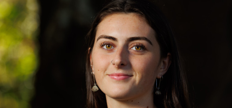
Researcher maps the earth under Auckland’s volcanoes
Auckland – New Zealand’s largest city and economic hub – sits atop an active volcanic field. Researcher Meegan Soulsby shares how she's using new seismic data and AI tools to understand Auckland's subsurface.
The Auckland Volcanic Field (AVF) has erupted over 50 times in the past 200,000 years, changing the landscape of the city each time.
“We are yet to clearly understand the processes that drive magma generation, ascent, and eruption in this intraplate setting,” says Meegan Soulsby, a PhD student at the University of Auckland.
This is a problem because it makes it harder to predict when, where, or how a future eruption in Auckland might play out.
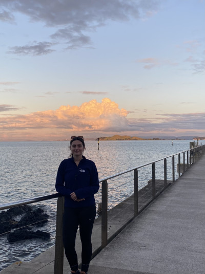
Taken from Rangitoto volcano, overlooking Motukorea / Browns Island.
As part of her PhD, Meegan is using new seismic data and AI tools to build a high-resolution 3D model of Auckland’s subsurface and monitor it for signs of change.
Meegan’s PhD is supported by DEtermining VOlcanic Risk in Auckland (DEVORA), which is co-funded by us and Auckland Council. DEVORA’s aim is to advance understanding of Auckland’s volcanic and seismic hazards, helping communities plan for future natural hazards. Meegan received funding for her PhD through the prestigious University of Auckland Scholarship, awarded by the Faculty of Science.
She talked to us about her project and passion for natural hazards research in our Researcher Profile series, where we showcase the people behind the research we fund.
What’s one thing you want Aucklanders to know when it comes to preparing for the next volcanic eruption?
One thing that may be reassuring for Aucklanders is that the AVF is the focus of ongoing, transdisciplinary research. Each year, the DEVORA programme hosts a forum where delegates representing academic, emergency management, lifeline, council, iwi and industry groups come together to hear the latest research updates. While an eruption is unlikely in our lifetimes, it is comforting to know that experts are actively collaborating and making informed planning decisions.
What’s your favourite part of being a researcher?
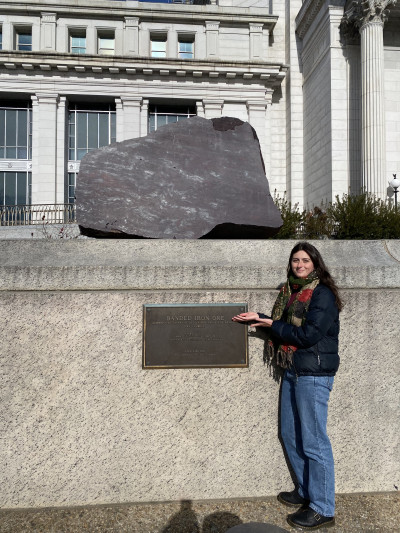
Smithsonian Natural Museum of Natural History, Washington, D.C.
I enjoy the combination of continuous learning, community engagement, and being outdoors. Exploring questions that have yet to be answered is exciting, as is discovering new insights that can help people, whether this be contributing to wider scientific theory or aiding decision making around natural hazards. Sharing this excitement with others is especially rewarding, particularly with tamariki, who are always curious about the natural world. Their curiosity inspires me to keep asking questions, testing ideas, and continuing to learn in my own research.
Why is it important to invest in natural hazards research like yours?
New Zealand’s location predisposes us to various natural hazards, including volcanic eruptions, earthquakes, and floods. Natural hazard research is essential to understand the associated risks and to support authorities in planning and decision-making, both before and after an event. Auckland is unique in that a major city is built atop a potentially active volcanic field. Improving our knowledge of the processes driving AVF volcanism is crucial for guiding emergency planning efforts and strengthening the long-term preparedness and resilience of communities in the event of a future eruption.
Do you have a favourite memory related to your research?
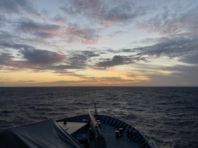
Sunset from the RV Tangaroa.
At this early stage in my research, I feel incredibly fortunate to have accumulated several memorable experiences, including a trip to Washington, D.C. for a conference. One memory that stands out is a 2024 research trip on NIWA’s (now Earth Sciences New Zealand’s) RV Tangaroa. During this voyage, we circumnavigated the North Island, retrieving ocean bottom seismometers. The data from these instruments are now being used for seismic imaging into the mantle, where the AVF’s magma source is thought to reside. It was an unforgettable experience, seasickness and all, and I hope to be back on the water again soon.
What would you like to do after your studies?
Being at the start of my PhD, it is hard to know exactly where my career will take me. However, I strive to maintain a sense of curiosity and excitement in my work, making discoveries that advance scientific understanding while contributing meaningfully to society.